Climate & Sustainability
Javier Gonzalez-Rocha maps air quality with drones
UCSC engineer Javier Gonzalez-Rocha is using drones and sensors to bring advanced air quality monitoring to underserved agricultural communities on California’s Central Coast.
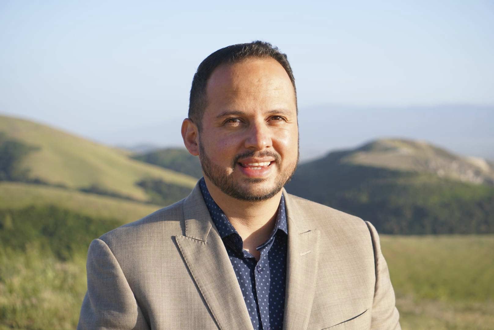
For Javier Gonzalez-Rocha, joining the faculty of UC Santa Cruz in 2023 meant coming home. As a native of Watsonville, in south Santa Cruz County, Gonzalez-Rocha is intimately familiar with the area and is already making an impact with his work by developing innovative air quality technology for local agricultural communities.
An assistant professor of applied mathematics with the Baskin School of Engineering, Gonzalez-Rocha specializes in building drones for atmospheric and environmental monitoring. Techniques he pioneered for using drones to measure wind speed and gas concentrations underpinned a 2023 study that catalogued methane emissions from California dairy farms, the state’s largest source of the potent greenhouse gas.
Now, with support from UCSC’s Center for Coastal Climate Resilience, he’s developing an air pollution monitoring network for local agricultural communities that combines data collected by drones and ground-based sensors. To accomplish this, he’s working alongside two local environmental nonprofits, Regeneración, a climate action organization based in Watsonville, and the Center for Community Advocacy in Salinas.
We recently caught up with Gonzalez-Rocha to learn more about his effort and the importance of community engagement for making the project successful. This interview has been edited for length and clarity.
What is the goal and purpose behind your effort to build an air quality monitoring network in this region?
The goal of our project is to essentially close the gap in air quality monitoring in agricultural communities, especially along California’s central coast. When you look at the distribution of sensor networks, there’s a big decline as you get into these agricultural regions. That leaves people vulnerable to poor quality air conditions, especially if there aren’t measurements that can inform what the air quality levels are. This is especially important in this area considering how many people in the region work outdoors.
So our first goal is just to increase the density of surface-based air monitoring. But then the next goal is to also think about how we can integrate more advanced technology. Specifically, we’re thinking about aero-robotic systems, or drones, to collect vertical profiles, therefore increasing observations in the air column. With that data, we can create three-dimensional pictures that can better inform how air quality will change at the surface.
Your background is in mechanical and aerospace engineering, which aren’t typically considered environmental fields. What inspired you to develop this project, which has such a strong environmental, human health component to it?
I really enjoyed my PhD work, in which we were addressing a problem brought to us by an atmospheric scientist. Ever since, I’ve always been thinking about these partnerships between engineers and scientists to develop technologies that can help us answer very difficult science questions. Then in my postdoc, I learned a lot about greenhouse gases and how we can use some of the techniques that we developed to better quantify methane.
Now that I’m back in Santa Cruz, I’ve been thinking a lot about the impact of wildfires. I grew up in Watsonville, and came back to the area in 2020, when the wildfires were happening. I saw, firsthand, the impact that the wildfires had on the air quality and the impact that it was having on agricultural workers.
I have always looked for ways to orientate technologies to solve pressing problems, so I started to investigate the needs of the local area. I noticed that in the south part of Santa Cruz County and the north part of Monterey County, there is already lots of base-level air pollution, some of which comes from agricultural operations, such as pesticide use.
But when you look at the distribution of regulatory air quality monitors in this region, we really don’t have any here in Pájaro Valley. That got me thinking about how we can design integrated air quality systems that not only look at surface measurements, but also how pollution is changing with time.
What are the benefits or advantages of using drones to monitor air quality?
Drones are low cost, easy to operate, and very deployable within a short period of time. Compared to other instruments, you can get to a measurement much more rapidly.
Drones can also monitor wind speed, which plays a great influence on the transport of pollutants. When we have moderate winds, pollution is closer to the ground. When you have calm winds, the concentrations will be lower.
My work has also focused on developing novel ways to infer wind speed without having to carry a dedicated flow sensor, because we convert the actual drone into a wind sensor. That increases the device’s payload capacity to carry other things.
More recently, I’ve been exploring how we can combine these wind sensing techniques with low-cost solutions for measuring things like particulate matter and greenhouse gases. If we have these two pieces of information we can then combine them with transport models, so that way we can do two things: One, if we know where the pollution source is, we can understand what the impact will be downwind. And secondly, if we can measure concentrations, we can assess the strength of the pollution source. That information would significantly increase the reliability of our measurements and predictions.
Another benefit is the resolution a drone can offer. If you’re using ground-based technology, you get measurements every 20 meters if you’re lucky. That’s the highest resolution.
In addition, most remote sensing solutions just give you what we call a column average measurement. That means they look at the entire atmosphere, and then they give you an average measurement. So, they don’t give us an indication of how pollution is changing with height, which is something a drone can do.
Why is it important to know how pollution is changing with height?
Because the part of the atmosphere closest to the surface — called the planetary boundary layer — is where most pollutants are trapped, and the height of this layer changes throughout the day.
On a hot day, you can imagine the ground gets really hot. Some of the energy gets transferred back into the atmosphere, causing air to warm up. Warmer air has lower density, and it wants to rise.
Around 2 or 3 pm, when it’s the hottest, it can rise to three kilometers. Then as soon as the sun sets, the planetary boundary layer begins to collapse. It’s the lowest right before sunrise, because it’s the coolest point in the morning. At that point, it may reach no more than 100 meters tall.
Based on data collected by land-based sensors in the Central Valley, the highest pollution tends to be right before sunrise, and it’s the lowest in the middle of the day. I think what’s happening is there is airborne pollution in the middle of the day that descends to the ground during morning hours.
If we can use the drone during the day to really understand the distribution of pollution across the entire planetary boundary layer, we can better predict how air quality will degrade in the early morning and change throughout the day.
After the first year of this project and having installed a few sensors, what are your preliminary findings?
In the few months that some of these sensors have been up, we’ve already been able to see the impact of prescribed fires. Prescribed fires overall are really good because they help mitigate high intensity fires.
But without observations we really don’t know what the air quality impact of these prescribed fires is, and what actions people can take to mitigate the impact of smoke coming from prescribed fires.
Did you take any measurements during the Moss Landing battery fire?
During the Moss Landing battery fire, we only had a few sensors and we didn’t have the aircraft to measure the contaminants that were released. But it was a perfect example of the utility of automated drone-based sampling of the atmosphere. If we could have obtained 3D data, that would have helped us understand how the pollutants are moving in the atmosphere and where the fallout is occurring. That is one way in which this technology is very relevant.
How does it feel to be back where you grew up?
It was like winning the lottery coming home and joining an institution of higher learning next to the place where I grew up. Having a very close connection to the community has encouraged me to pursue community-based research where we’re thinking about developing novel technology and using it in a way that centers the community’s needs so that we’re creating something that’s of great utility to them.
Assistant Professor Javier Gonzalez-Rocha is giving a Kraw Lecture on his work on Jan. 21 from 5:30-7pm at UC Santa Cruz’s Silicon Valley Campus. Full details and registration information are available on the campus events calendar.